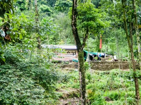
Starting point: Paren (or Alubari, a village slightly higher)
Route: Paren → Alubari → Neora Valley Forest → Rachela Pass
Distance: ~20km one way to the pass area
Difficulty: Challenging (steep, forested, high-altitude final section)
Duration: 2–3 days (with overnight stays in forest or at Todey/Tangta)
Permit: Required from the Neora Valley National Park authority
Guide: Mandatory; the trail is unmarked and passes through active wildlife habitat
Best season: November–April
The most ambitious trekking option in the area is the route toward Rachela Pass (also spelled Reche-la), which climbs from Paren through the forests of Neora Valley National Park and up toward the tri-junction of West Bengal, Sikkim and Bhutan. This is a serious multi-day alpine trek that requires a forest permit, a local guide and proper equipment. The rewards are considerable: the Rachela Pass area hosts high-altitude lakes, rhododendron forests and views over three countries.
A shorter and more accessible extension of this route runs from Paren to Todey and Tangta, two small villages at higher altitude (roughly 1,200–1,800m) that were once major cardamom-growing centres and are now peaceful, unhurried places with dramatic landscapes and relatively few visitors. The walk from Paren to Todey takes 3–4 hours and can be done as a long day walk with a guide.
Article Content
Text Body
Is Background Visible
Off
Published on
Article Image
Image
Updated On
Read Time
5
Article Type
Location
Article Videos
Is Background Visible
Off
Upload Video
Content Family
General Purpose
Image Gallery
Upload Images
Is Background Visible
Off
Images View Mode
Simple
Video Gallery
Is Background Visible
Off
Upload Video
gallery view mode
horizontal
action if location
default
Comments